Sample data
CPUE tracking
Follow catch per unit effort over time to see whether fish stocks are recovering or under pressure.

Turning conservation science into practical tools for coastal fishing communities.
One workflow, start to finish
The process
From raw landings to an agreed management decision, in four steps that repeat each cycle.
Upload static CSV or Excel datasets, or create live connections using any API so new landings sync automatically on a schedule.
Pick sites, a time period, and indicators. FishMAT calculates each one and flags where data is thin.
Produce a field summary table and a full PDF report with charts and plain-language guidance.
Review results with the community or management body, agree harvest strategies, and log the outcome for the next cycle.
Capabilities
Simple science, illustrated with the charts you’ll actually use.
Follow catch per unit effort over time to see whether fish stocks are recovering or under pressure.
See how much of the catch is mature, at optimal size, or large spawners, and spot when too many young fish are landed.
Understand which species make up the catch and how the mix shifts across seasons and sites.
Plain-language summaries highlight trends and what they may mean for managing your fishery.
Reports with charts and findings, formatted to print or share with partners and colleagues.
Share catch totals with partners in Excel, Google Sheets, or Power BI, without fisher names, boats, or prices.
The science
Choose the indicators that fit your fishery. Each one is calculated from your catch records and rated against reference points.
Every indicator gets a status, and FishMAT tells you when there isn’t enough data to judge. Size indicators estimate length from weight using FishBase length–weight relationships, so you don’t need to measure every fish.
Who it’s for
Whether you work at a single landing site or across a national programme, FishMAT meets you where your data is.
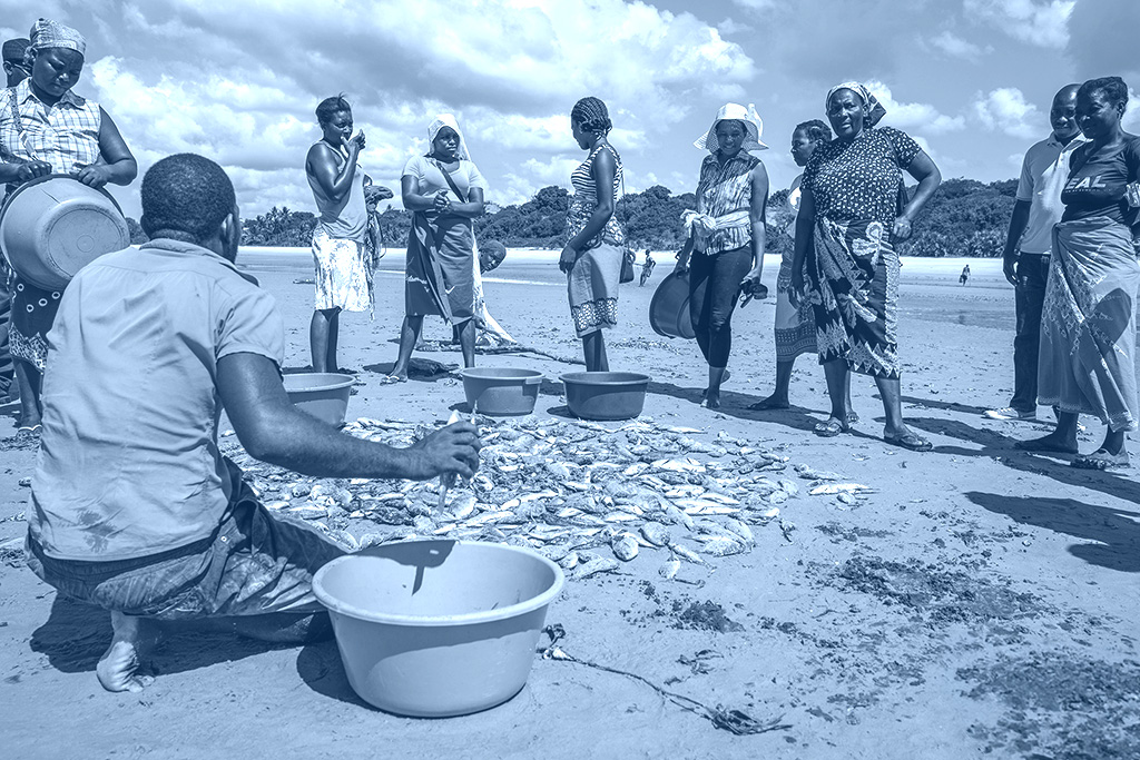
Turn local catch records into clear evidence to guide managed-access areas, no-take zones, and seasonal closures.
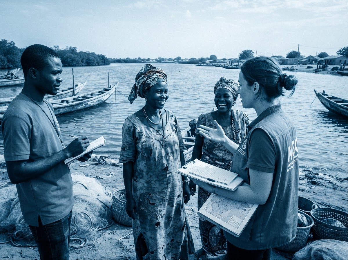
Run consistent assessments across many sites and support communities with shared, comparable results.
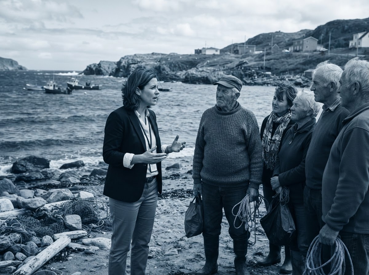
Ground fisheries policy in community data and track the impact of management decisions over time.